After having extracted the terrain data using the Map module you are ready to create a discretized model of the simulation domain. Press the Model tab on the left-hand side.
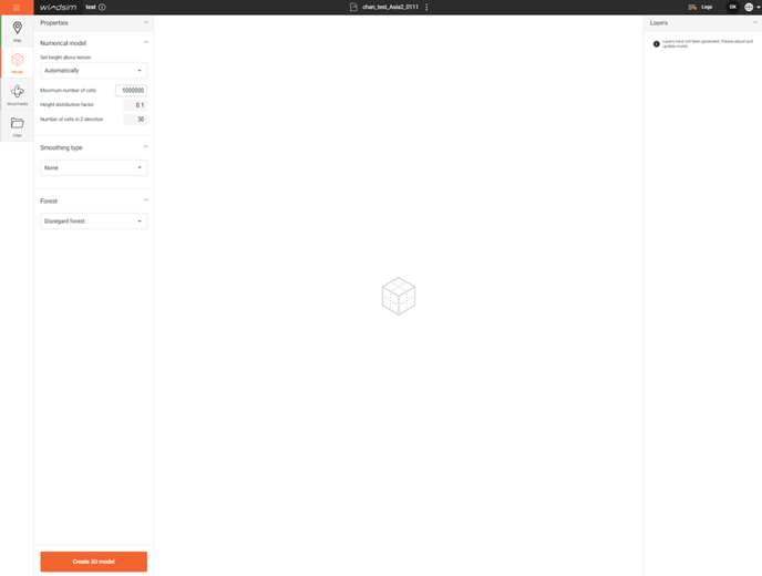
There are several options to choose:
- Height above terrain:
Height (meters) of the numerical model above the highest point in the terrain, pronounced features in the terrain will generally require a higher model. If the height is set too high the vertical resolution may be to low.
We recommend using the automatic option which attempts to set a reasonable height. - Maximum number of cells:
How many cells should be used for your model. - Height distribution factor
Accelerator currently assumes a geometric vertical expansion, this specifies the factor it should expand with. - Number vertical cells
How many cells should be used along the z-axis. - Forest
Not implemented yet - Smoothing
Not implemented yet
When the settings looks satisfactorily press 'Create 3D model' and you can inspect the effect of your choices.
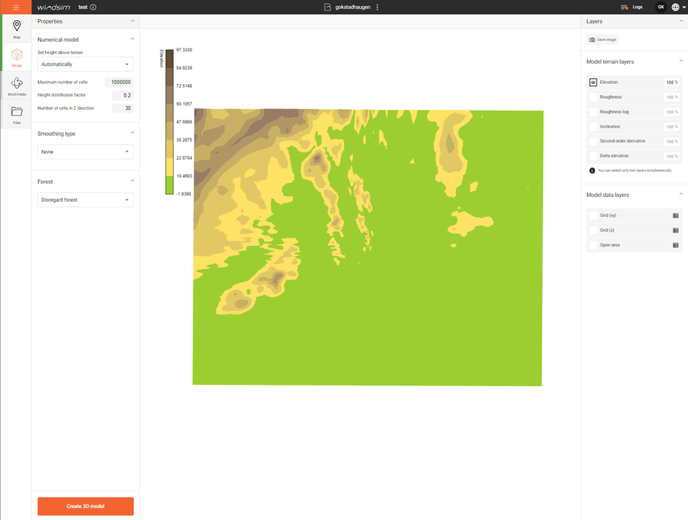
- Elevation
- Roughness
- Roughness logarithmic
- Inclination
- Second order derivative (Curve)
- Delta elevation
To investigate the 3D model:
- Grid (xy)
- Grid (z)
- Open area
Then change the options if needed and create a new 3D model. When happy go to the Windfields tab.